Having done a few miles with various grandchildren this past week, it was time for a longer ride today. The ladies who were free had no need to rush back, so 4 of us had a longer day out, starting from Silchester. I drove everyone to the start. John had done this route last week, so thought I might as well pinch it. There would be a few more hills than usual, but I reconned that we could all manage, or walk if we had to. I was familiar with the majority of the route, but plenty of new bits for everyone else.
Route
It was only 16 degrees when we started, but it felt perfect. We peddled around Wall Lane, then following the road, ignored the turning for Little London, continuing to the T junction at Pamber Road. A right almost immediately onto Soke Road, passing through a Hamlet called Aldermaston Soke. At the roundabout a left then right, and soon right into Raghill. (I missed this with Daphne last time and rode on Red Lane uphill to Aldermaston, steeper and with more traffic.) Turning left at a X Roads into Spring Lane, this rejoins Red Lane further along, and soon Aldermaston Church is on our left.
 |
| Aldermaston Church, with the parched lawn. |
 |
| Big open views opposite the church |
 |
| Waiting at the Church, and now for the downhill into Aldermaston Village |
Through Aldermaston, and we joined Wasing Lane, which is a pretty flat lane, all the way to Wasing Park entrance, where we turned right and over the Enbourne River, which was not much in evidence. We were now heading to Brimpton, which I could remember nothing about from a previous ride, so I was on the look out for a landmark to photograph. The main thing to remember is that is on a hill! So when I got to the top, to a T junction, I took out my camera to take the next two photos.
The first section, is up to Midgham Church, where we stopped for a few minutes since Andrea's saddle was slipping. But a good chance to catch our breath.😉
 |
| Midgham Church. Nice and shady on the lane, but very bright beyond the trees. It's warming up. |
 |
| Andrea trying to tighten her saddle. |
A bit more climbing, and we heard a lot of commotion, which sounded like school children, but it was infact chickens. Ironic that the noise was coming from this property!
 |
| On the next steep section, it was Jeanette's bike playing up, not changing gear correctly. |
A bit more of a "down and up" next, unexpected, since at this point, my Garmin showed it was level! Finally we flattened out, and turned right onto the long straight (busier) road into Chapel Row. I suggested a stop for a drink / loo since it was about 11.45.
 |
| The Blackbird, Chapel Row. |
 |
| No outdoors seats free, so we sat indoors. Very nice teas, and good service. |
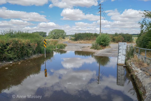
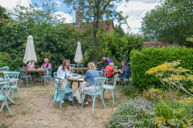
I often have gone left just before the ford, to climb to Marlston, passing the old school, then through Wellhouse to Frilsham. The route today was across the ford, and left on Brocks Lane, which is all very easy and flat, until a right turn up to Frilsham... which goes on a bit! But we all managed. Through Frilsham woods, then left the end and over the M4 into Yattendon, passing West Berkshire Brewery. Since it was now lunch time, we each had a savoury lunch at The Pantry.
 |
| Yattendon Village next to the Pantry. |
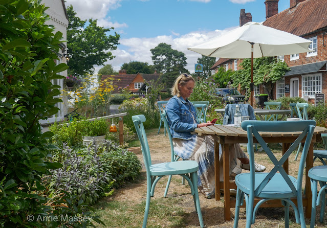 |
| Think they have some new chairs. A nice little scene at the table next to ours. |
We moved from our first choice of table, which was under the branches of a Pear Tree since a little worried about wasps. We moved to the next table, and not long after we sat down, a pear bounced on the table, just missing my water glass.😂 But sadly a few minutes after that, Jeanette got stung twice by what we think was a hornet. It appeared from nowhere, infact she didn't even see it, but I manged to stamp on it. We got some ice for her, and I also had my medical cream for stings put to some use at last. (Louise kept on saying " it wasn't a normal wasp... it was enormous." I'm not sure that was helping😅)
 |
| Jeanette holding ice wrapped in tissue against her arm which was stung. |
 |
| The Pear tree, which is ready to drop itls fruit. |
 |
| The Florists, Yattendon. |
We retraced the route over the M4, and passing The Pot Kiln pub, had a bit of climb out of Frilsham. I had only ever come DOWN this hill before, which I remember was pretty steep. I thought the SPIKE on my Garmin looked interesting!
 |
| The climb past The Pot Kiln Pub. |
It was tough, but only short, and we all made it in our own time. Then a Eureka moment as we passed a house with a pond on the downhill back towards Bucklebury. I hadn't quite linked these two bits of the ride before.
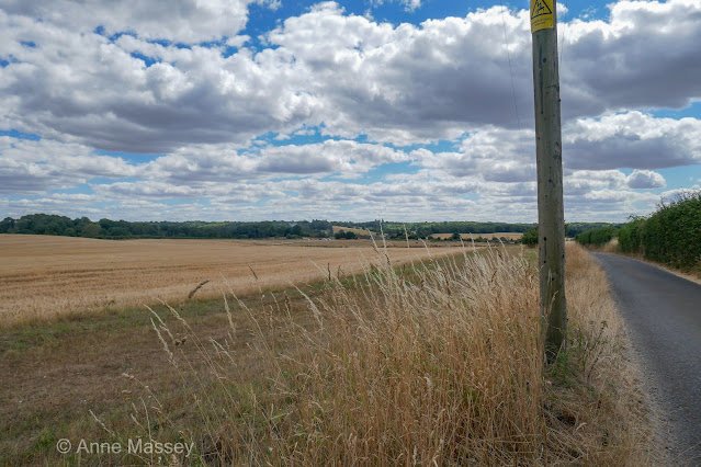 |
| Almost back to Bucklbury, with the Equestrian Centre on the left as we drop down from Frilsham. |
 |
| We had to pull over for a few cars as we dropped down to Bucklebury. |
We now headed on the flat easy road to Stanford Dingley, and stopped to photograph the hay bales and the lambs.
 |
| Bucklebury Road, heading to Standford Dingley |
 |
| Looking back along Bucklebury Road. |
At the end of this road, Jeanette suddenly felt unwell, and made the decision that she wasn't up to finishing the ride. What a shame. We wondered if it might be some reaction to the sting? Who knows, but I suggested we get her to the bench at Standford Dingley Church, and she called Martin to come to collect her. She insisted that we leave her, but of course we wouldn't, so I suggested Andrea stay with her, whilst Louise and I continue back to Silchester. (I could then drive back to collect Andrea, if necessary, but in fact Martin took them both home.)
 |
| Stanford Dingley church. |
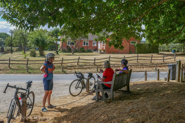 |
| Sorted with water and food, Louise and I left them to be collected. |
There was a bit of a climb out of Stanford Dingley! I stopped to take this photo and hoped that Martin drove this way, so the ladies would know that Louise and I climbed this hill. 😂
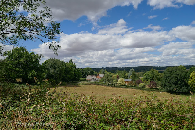 |
Looking back to Stanford Dingley from PART way up the climb.
Doesn't look much in the photo! |
From here, we headed to Beenham, and then Beenham Stocks, to turn right, a cheeky little climb, then a BIG downhill on Lamdens Hill, to cross the A4 once more.
 |
| A car head, just starting to drop down the steep descent to the A4. |
 |
| Looking back up to the hill we came down, called Lambdens Hill. |
Once over the A4, we crossed the railway and the River Kennet again, then our cheeky climb to Upton Nervet. My phone rang part way up the hill, and it was Andrea to say they had now been collected. A couple of miles on the straight road with the pine trees on Camp Road and Burghfield Road, before dropping down passed the Red Lion pub at Mortimer West End, to climb up to Silchester. That last climb is always tough. Down to granny gear once more.
By the time I got home it was 4.20.😊 A grand day out, just a shame that Jeanette and Andrea missed the last 10 miles.


