With the most painful backache I've had in a very long time (lasting almost a week now), we set off for an ebike ride this morning, repeating a route we have done before from Chieveley to Farnborough. I had ridden with backache a few days ago, and leaning forward seems to make it more comfortable. John unusually has also had back pain, but his has almost gone. He agreed that cycling was not a problem for him either.
Considering it's almost the end of October, its still pretty mild, but cool in the mornings. We set off in 9 degrees, and finished in 13degrees. And with sunshine all the way and no wind it was very pleasant.
Route link
We left Chieveley over the A34 and M4 in the direction of Hermitage, then after a couple of right turns, into the quieter Curridge Road. At a X Roads, a left still called Curridge Road, where these horses were in a field enjoying the heat from the sun.
 |
| Curridge Road |
 |
| Curridge Road |
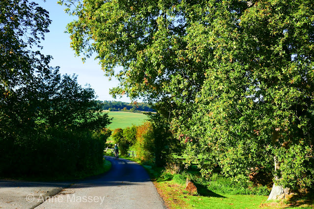
Curridge Road eventually crosses on a bridge over the A34, where we dogleg over to climb Arlington Lane. Time for the power. This is I think about 11% at worst, and passes some lovely woodland at eye level, taking us up to a junction with the B4494 next to Snelsmore Common. (A busy road but only on it for a couple of hundred yards, before a right turn).
 |
| Not in focus! I was rushing. Some lovely color from the ferns on Arlington Lane |
 |
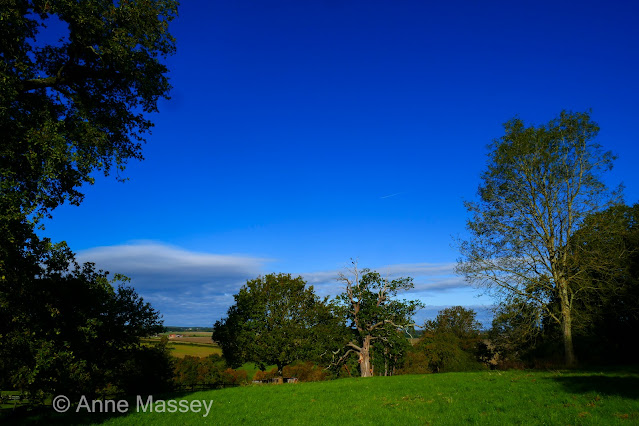
Passing through the beautiful old woodlands of Snelsmore Common. The sky was an amazing color. |
 |
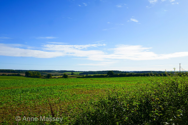
| Out of the old woods, and the views change to open fields. |
 |
I photograph this view every time.
So pretty, as we drop down steeply to turn left towards Kimber Cottage and the sculpted hedge. |
 |
| And a bit further. |
We did our usual loop through Bagnor, then to Woodspeen. I recently left the Woodspeen road to head to Stockcross, but today's route continued on for about 2.5 miles on Lambourne Road, all the way to Boxford. It follows the river level, so all easy going. We turned into Boxford on a right turn, where the newly thatched building is being restores. Once a pub, but looking more residential now. (Still for boarding up, so cant quite see).
Todays route continued through Boxford and along what I call the "Valley Road". All slightly uphill. passing under the M4., and continuing on Hangman's Stone Lane. I noticed a property sign called "Hangmans Stone", and there were a lot of shooting sounds... presumably clay pigeon.
 |
Farnborough Church in the distance, as we leave Brightwalton.
Loved the little cloud today. |
 |
| Big open views. |
Then the short stretch dropping down on the B4494 to take the very sharp left to the farm shop. John spotted the herd of deer on the hill as we approached.
 |
| Just before our climb to Chaddleworth |
 |
| starting our climb to Chaddleworth |
 |
But we stopped part way up to take in this view.
(We have stopped here before) |
 |
| The opposite view. |
Passing some pretty homes in Chaddleworth, we dropped down to a junction, and did a left.right, passing the pub, to climb School Hill towards Leckhampstead. Its a cheeky little climb. I couldnt remember anything about Leckhampstead, but we arrived facing this memorial and keeping right.
 |
| Aide memoire. Leckhampstead. The rest of the village is very ordinary. |
A down and up next. First down to the B4494, and then a steep up on the other side, now heading on Hillgreen Lane, towards Peasemore.
(Terrible photo into the sun!)
 |
| This road continued to Beedon. |
At a junction, we join the Oxford Road, a climb initially, then downhill through Worlds End, and a right turn into Old Street. Finally back via High Steet Chieveley, to drop down School Lane back to the start.
Beautiful day be out.


