A funny shape to our route today. I had not cycled to Blewbury before, but knew several parts of the route from other rides to Dorchester and Wittenham. John had found a tea stop nr Blewbury quite recently on a recce ride, so we were off on our ebikes today, parking at Checkendon.
 |
| Loved the long shadows at Checkendon car park. Shortest day just a month away now. |
 |
| On our way to drop down Berins Hill to Hayley Most the leaves now off the trees. |
 |
| Sheep on the left at Well Place road, just before we turn right to head towards Ipsden and down to Crowmarsh. |
Through Wallingford where we continued straight for a good while, then eventually over a roundabout on the main A4130, then immediately left to Brightwell Cum Sotwell. Funny how coming the opposite way confuses people... or me anyway! I knew I had been there but nothing was recognisable until we turned right, and I knew it would be called Church Lane. I had sat on a bench there with Daphne on a ride several months ago when we went to Dorchester.
A left turn at the junction, and then cross the A4130 once more, into a little path part of National Cycle route 5. The path was completely covered with leaves today, but still a good surface. This emerges to join Sires Hill and after about half a mile, a right turn to climb up to Wittenham Clumps. (Have come down here a few times.... much easier😊) but with power today no problem. I say no problem. I stopped to try to photograph a buzzard, which of course flew off, and I struggled to get going again on the hill. Just short of the river crossing, we turned left into Little Wittenham Road, a very flat, open road where we headed straight in the wind.
 |
| Little Wittenham Road |
 |
| Little Wittenham Road. Note John's ears are covered. |
Now to Long Wittenham, a pretty village where this pink cottage was on our right just before a left hand bend. Unusual to get a shot without a tall hedge or a car parked outside!
 |
| Long Wittenham Cottage |
 |
| Views to the white building at the top of a climb. Looking at Culham Labs, where they split the atom. |
Now to ride the very straight Long Wittenham Road, and over a Xroads (A4130) again continuing dead straight heading to North Moreton.
 |
| view over our left is Wittenham clumps now in sunshine. |
 |
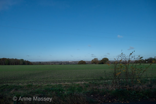
| Views ahead towards North Moreton. |
 |
| arriving in North Moreton. where we turn right here, and immediatley uphill. (I remembered this was coming!) |
4 cyclists shot passed us a few minutes ago to charge to the right as I took the above photo. We caught up with one whom it turned out got cramp and had to stop. The other 3 waited for him further on, so we then passed them.... looking smug? Through South Moreton next and a right turn on Anchor Lane. We arrived then into a place with two names. Weird. On each side of the road it had one of those "WELCOME TO " Signs. One read Aston Tirrold and the other Aston Upthorpe. It has two churches, some very pretty thatches, and also a stud farm. According to Wiki, one of the top studs in the country.
(the light was very flat as we rode through, so no photos).
We took Hagbourne Road to join Bessel's Way into Blewbury, which is where I spotted this unusual mound on the left. Its called Blewburton Hill, an Ironage hill fort.
 |
| Blewburton Hill Ironage fort |
I had only been to Blewbury before in the summer months to a fantastic Open Gardens event. It was looking very different today, so must repeat this ride in the summer months.
 |
| We did a wee tour of the village including this tiny path through the churchyard |
 |
| Style Acre tearoom, which is at a garden centre, and run by young adults. |
 |
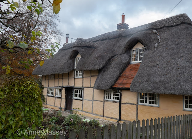
| The cottage where in summer the planting is amazing. Note the RATS on the roof! |
We retraced our route now for a bit, passing the mound on our right now, where the sun rays were doing their best to break through.
(I recognised this part too, which looks like you are about to climb a hill, but turn left at the base. )
Back through Wallingford and turned right into the little cut through in Crowmarsh Gifford.
 |
| Cut through to cross the A4074 to climb to Ipsden. Nice light on the cottage I thought. |
Nice to have power to effortless climb to the open views of Ipsden, where we spent a few minutes trying to photograph the "blue" crops. I had to look up the name which is a green manure crop called Phacelia, or more commonly "Fiddleneck".


